![]()
![]()
![]()
![]()
58. Moorfoot Hills
start: Gorebridge
distance: 30 miles
OS map: 66
 A pleasant and mixed on/off road route with a strenuous uphill push to breach the defences of the Moorfoot Hills - a sense of humour is an asset for this section. Don't be put off, though, pick a dry day and a westerly wind if possible. We also visit Crichton Castle on the way. The route starts as for the Gore Glen route...
There's a small cemetery and parking area on the A7 near Gorebridge at (346 604). The route is described from here.
Take the main road for a few yards but turn off to the R for Gorebridge and follow the road round and downhill. As the road starts to go uphill, look for a garage on the R with a green roof. Turn R as you reach it and aim for the back of some newish houses where the old Waverley rail line used to run. There's a path that runs behind the houses and under a bridge to emerge in more open countryside with views of the Pentlands ahead of you.
After about half a mile, and as you near the A7, the trail swings to the R. Turn off L here onto a smaller path, through a gate and down a steep grassy slope - you're aiming to go under Shank Bridge. Follow the path through some bushes, to the R at first and then straight on to come out into a more open grassy area. The River Gore is to your L and following near to its bank you head into bushes again, passing a small pond, down and then up a bank onto a more distinct path. This section is a little overgrown but don't be put off. The path now is a fine run through the trees to come out by a stone bridge near the junction of the River Gore and the South Esk.
Turn L at the small parking area and cross the bridge to head towards the village of Carrington and from here take the road to Temple, with its red tile roofs. Follow the road for Gladhouse and when you reach the reservoir carry on to the S for Mauldslie.
At this T junction, you need to go through the gate and take the track heading straight on and slightly uphill to pass a clump of trees. The path now gets more indistinct - and wet - and you need to head for the top right corner of another clump of trees on the hillside so that you can pass behind it.
Aiming roughly NE now to yet another clump of trees and in order to find the vague track, you should be about 200 metres up the hillside from the trees as you reach them. This is a pretty vague line heading diagonally up the side of the hill and gets even more vague as you get nearer the col - this is where a sense of humour comes into play. Either that, or take plenty of cash for the swear box...;-)
Don't forget to look behind now and again - the Pentlands dominate the view to the N. The path from the col heading down to a farm track is much better. Turn L onto the track by a barn and go along to meet the Innerleithen road with good views now to the S.
Turn R and head downhill towards Innerleithen. If you've got a westerly wind, the run along the valley to Heriot is a treat. You'll need to take to the A7 now for a couple of miles heading N before turning off on the B6367, signed for Pathhead and Crichton Castle. Follow the signs for Crichton and the road to the castle takes you to a small car park from where a track leads to the castle itself.
Like many Scottish castles, the history of Crichton is convoluted. It began life in the 14th century as a tower and has been adapted and enlarged by its various owners. An interesting feature is the impressive Italian decorative stonework in the dining room.
There is a track marked on the map leading towards Borthwick Castle. It leads down to cross the stream behind the castle but the track soon degenerates and cannot really be recommended. Instead, you should retrace your steps to Crichton village and take the L turn for Gorebridge, going steeply down to cross the Tyne Water and then steeply up again. There's a good view of the castle from here.
You can take the direct route back to the start or go via North Middleton, where there's a pub, and take the A7 again for a mile or so back to the cemetery.
jb, galashiels
Download GPS data in GPX format.

Gore Glen, Gorebridge

Gore Glen, Gorebridge
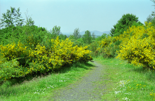
old railway near Gorebridge
![]() back
back
![]() next
next
![]() home
home
![]() map and routes
map and routes