22. Minch Moor
start: Yair Bridge, Selkirk
distance: 22 miles
OS map: 73
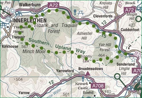
 This is quite a serious route rising as it does to over 500m along an old drove road. Start point is 3mi N of Selkirk on the A707 Peebles road at Yair Bridge (458 326). Go over the bridge, turn R and you can park a few metres along on the R. Parts of this route can be susceptible to damage so it would be wise to wait for a dry spell before doing it.
Take the track on the S bank of the Tweed at Yair Bridge heading W then N to keep within shouting distance of the river. Eventually it joins the minor road and, incidentally, NCR1.
In about 8 km along this road there is a R turn to Walkerburn. Ignore it, but a short distance further on is a forestry road on the L (358 367). Take this track, which swings L at a junction after a while and then R at another junction, and rising for most of the time until it meets the Southern Upland Way (343 337). This rises steeply through the trees heading E - you might need to get off and push here. It emerges from the trees and goes up less steeply to the Cheese Well. Take a few minutes to stroll up to the trig point on Minch Moor for fine views.
Follow the well-marked trail, ignoring a route on the R to Broadmeadows Youth Hostel, until you reach the Three Brethren. These are the obvious large cairns which mark the meeting of three of the old 'estates'. Good news: it's all downhill to Yair Bridge and the track is well signed through the woods.
jb, gala
Download GPS data in GPX format.

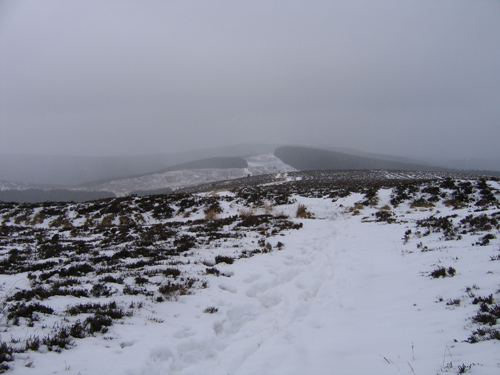
Minch Moor trail

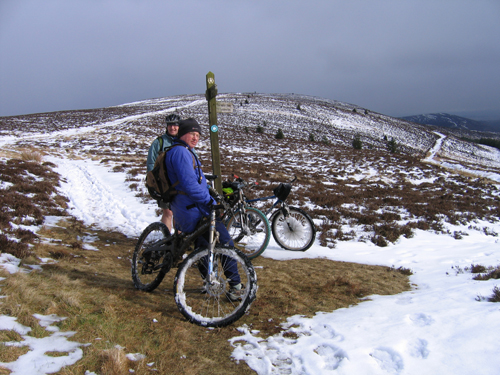
deep snow

Minch Moor trail